Cape Hatteras National Seashore: Choose a Beach Access Before You Drive
Choose a specific Cape Hatteras beach access, check current seashore information and build a flexible Outer Banks day that does not assume all shoreline areas have the same services. This independent visitor guide was reviewed on October 18, 2026. It offers an adaptable planning sequence, not a reservation or a report of today's conditions. Check the linked official source before travel and follow on-site closures and staff directions. A photograph or an inviting forecast cannot establish that ocean entry is appropriate.
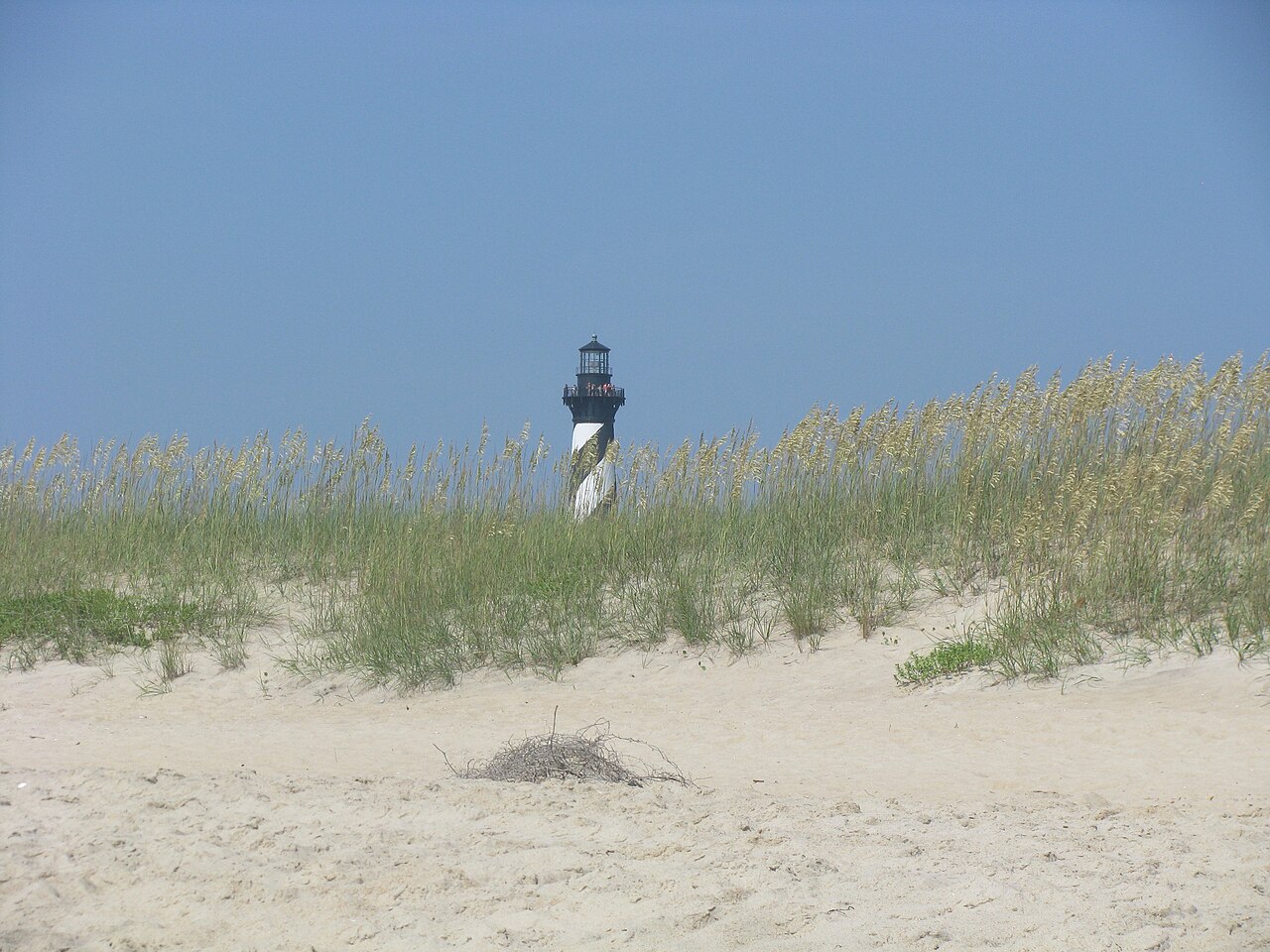
Photo: Captain-tucker · CC BY-SA 3.0. Reference photograph: Cape Hatteras Lighthouse from beach 01.jpg. It does not establish current access, weather, operations or a future event. Display may crop the original.

Choose the access, not only the seashore name
Cape Hatteras National Seashore covers more than one beach stop, so select a specific access using the current NPS map. Share that point with the group and compare the complete drive. A navigation instruction to the seashore's general name can leave you far from the facilities or beach setting you intended.
Check current seasonal lifeguard information
NPS lists particular lifeguarded locations and a summer staffing season. Use the current page for your date rather than assuming every access is guarded all year. A ranger patrol is not the same as a lifeguard stationed beside your group. Follow current local instructions and make a shore-based alternative part of the outing.
Read alerts before the road trip
Check NPS notices and current route information for the access you choose. Coastal conditions, resource protection or road issues can change the day. Do not use a previous itinerary to override a closure. Keep an alternative that does not require driving the entire shoreline after discovering the first plan is unavailable.
Separate driving onto sand from ordinary parking
If you are considering beach driving, read the specific current NPS permit, vehicle and route requirements. Do not assume a road-legal vehicle or ordinary park visit permits it. For a simpler first outing, choose an authorized ordinary parking and walking approach. A dramatic vehicle photograph is not a practical instruction.
Use current ocean information
NPS directs visitors to current rip-current and swimming information. Check conditions and follow flags, staff and closures without relying on a calm-looking stretch of water. A pool-swimming background does not establish ocean suitability. Keep the visit worthwhile through walking, observation or a meal even if water entry is inappropriate.
Plan the facilities you actually need
Identify restrooms, access features and any service essential to your group using the selected location's current information. Do not assume a lighthouse-area facility exists at every beach access. Carry permitted necessities and a manageable amount of food and water. Ask about a material access need before driving rather than inferring it from a broad park symbol.
Respect temporary protection areas
Follow posted routes and boundaries that protect wildlife or coastal resources. Do not move signs, cross a closure for a shortcut or approach an animal for an image. Choose photography from permitted locations. The point of a seashore visit is compatible with leaving space for habitat, even when that changes the exact view you expected.
Keep the return drive realistic
Choose a latest comfortable departure and avoid adding every lighthouse or beach to one day. The trip back, packing and food still require time. Recheck route and weather information before leaving the access. A smaller itinerary can provide more time on the actual beach than a long list of stops reached only through a windshield.
A worked plan you can adapt
A family wants an Outer Banks beach day and initially lists several widely separated stops. They reduce the plan to one exact Cape Hatteras access and one optional nearby activity. They check current alerts, the date's staffing information and the facilities relevant to the selected access. Beach driving is removed from the first visit because it would require a separate permit and vehicle review. Their main goal is a manageable shore visit, with any water activity conditional on current instructions. Before leaving, they recheck the return route and keep enough energy for the drive. This invented plan avoids treating the whole seashore as one uniformly serviced beach.
Your working checklist
Checkmarks stay in this browser when storage is available. They do not submit information or complete a purchase.
Put it into practice
- Select one exact Cape Hatteras access from the current NPS map and save its complete driving route.
- Check current alerts and seasonal lifeguard information for that location and date rather than assuming uniform service.
- Choose authorized ordinary parking and walking unless you have separately understood any beach-driving permit and vehicle requirements.
- Review ocean conditions and on-site instructions, keeping a land-based activity as a complete alternative.
- Confirm essential facilities and personal access needs for the actual access and carry appropriate permitted necessities.
- Follow wildlife boundaries and closures, choosing a modest walk and photography from permitted areas.
- Pack with time for the return drive, rechecking route and weather rather than adding distant stops automatically.
Before you finish
- The access point for Cape Hatteras National Seashore agrees with the saved map and your transport destination.
- Access, current alerts, local rules and any required reservation have been rechecked.
- The day's activity fits current conditions and the group's needs, with no promise of safe swimming.
- Everyone knows the return plan and all belongings and waste have been accounted for.
Common questions
Is every Cape Hatteras beach access guarded?
No. NPS identifies specific seasonal lifeguarded locations. Check the current page and actual on-site coverage for your date.
Can I drive onto the beach with an ordinary vehicle?
Do not assume so. Read the current NPS permit, vehicle and route requirements separately from ordinary beach access.
Does a calm-looking ocean remove the need for a conditions check?
No. Use current official ocean information and follow local directions. Appearance alone does not establish suitability.
Should I plan every major seashore stop in one day?
Choose priorities and compare the full drive. A smaller route usually leaves more room for actual beach time, rest and a comfortable return.